Observation Data
Platform Overview
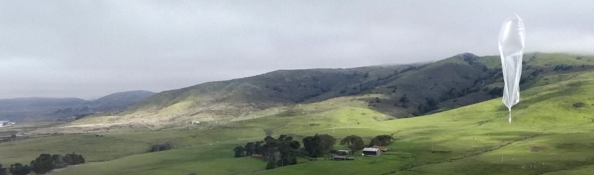
WindBorne Systems has developed the Global Sounding Balloon (GSB), a long-duration controllable balloon-based observation platform optimized for repeated vertical profiling of the atmosphere. The GSB provides atmospheric observations of pressure, temperature, humidity, and wind speed and direction along its flight path. A single GSB flight is capable of remaining aloft for weeks or months and collecting dozens of vertical sounding profiles while traveling thousands of kilometers from the launch location.
What's Measured
The API returns the following variables for each observation data point. All values have passed automated quality control before reaching the API. Invalid data is excluded from the response.
| API Field | Description | Unit |
|---|---|---|
| temperature | Ambient air temperature measured by a thermistor. | °C |
| humidity | Relative humidity at ambient air temperature measured by thin-film capacative sensors. Reported with respect to vapor pressure over liquid water above 0 °C, over ice below −23 °C, and interpolated between. | % |
| specific_humidity | Derived from relative humidity, temperature, and pressure measurements. | mg/kg |
| pressure | Barometric pressure measured by MEMS sensors. | hPa |
| altitude | Geopotential height relative to the EGM96 geoid, measured by multi-GNSS receiver. | meters |
| speed_u | East/west wind velocity component, eastward positive. Measured by multi-GNSS receiver. | m/s |
| speed_v | North/south wind velocity component, northward positive. Measured by multi-GNSS receiver. | m/s |
| latitude | Measured by multi-GNSS receiver. | degrees |
| longitude | Measured by multi-GNSS receiver. | degrees |
| timestamp | UTC measurement time. | unix timestamp |
Data Pipeline & Latency
Measurements are recorded every 10 seconds on board the balloon. These are bundled into transmissions and downlinked via the Iridium satellite network. Server-side quality control runs automatically on receipt, after which the data is made available to the API.
| Stage | Timing |
|---|---|
| On-board sampling interval | Every 10 seconds |
| Satellite downlink interval | typically 1–7 minutes (configurable) |
| End-to-end latency (measurement → API) | typically <15 minutes |
Data Processing and Quality Control
All observations pass through automated quality control before appearing in the API. Data that did not pass quality control is excluded from the response. Data processing includes corrections for solar bias of the temperature sensor and temperature compensation and time lag correction of the humidity sensor. Average observation validity percentage for profiling data from 2024/7/1 through 2025/6/30 is shown below.
| Variable | Acceptance while profiling |
|---|---|
| Altitude/Wind/Latitude/Longitude | 99.7% |
| Pressure | 98.4% |
| Temperature | 88.8% |
| Humidity | 77.7% |
Sensor Performance
Sensor performance specifications are derived from in-lab testing and side-by-side launches, and validated through side-by-side radiosonde launches and intercomparison with ECMWF ERA5 reanalysis. Sensor performance meets or exceeds the most stringent WMO OSCAR 2.1 Global NWP requirements.
| Parameter | Specification |
|---|---|
| Pressure, MEMS | |
| Operating range | 20 to 1050 hPa, −60 to 40 °Ca |
| Data resolution | 0.03 hPa |
| Calibration uncertainty | 0.2 hPa |
| Sounding reproducibility | 0.25 hPab |
| Temperature, Thermistor | |
| Operating range | −90 to 40 °C |
| Thermal time constant | τ₆₃ = 1 s in still air |
| Data resolution | 0.3 °C |
| Calibration uncertainty | 0.1 °C |
| Sounding reproducibility | 0.25 °Cb |
| Humidity, E+E Elektronik | |
| Operating range | 0 to 100% RH |
| Response time | τ₆₃ = 0.9 s at 0 °C, 20 s at −40 °C |
| Data resolution | 0.5% RH |
| Calibration uncertainty | 2% RH |
| Sounding reproducibility | 2.5% RHb |
| Altitude, Multi-GNSS | |
| Data resolution | 8 m |
| Sounding reproducibility | 3 mc |
| Wind Speed, Multi-GNSS | |
| Operating range | <|100| m/s onboard, ≥|100| m/s calculated ground-side |
| Data resolution | 0.4 m/s |
| Sounding reproducibility | 0.4 m/sb |
a Main electronics, including pressure sensors, are always heated above −60 °C during flight
b One standard deviation difference between simultaneously launched GSBs, matched at equivalent altitude
c One standard deviation difference between simultaneously launched GSBs, matched at equivalent pressure
Humidity uncertainty specifications apply above −58 °C
All calibration uncertainties are quoted at 2σ
For full methodology and validation details, see Spisak et al. 2025.